(This post may be a bit long for some email software, so if you don’t see “Next stop: Back to the Ionian” at the bottom of your email, you’ll need to click on the title to go to the website and see the full post).
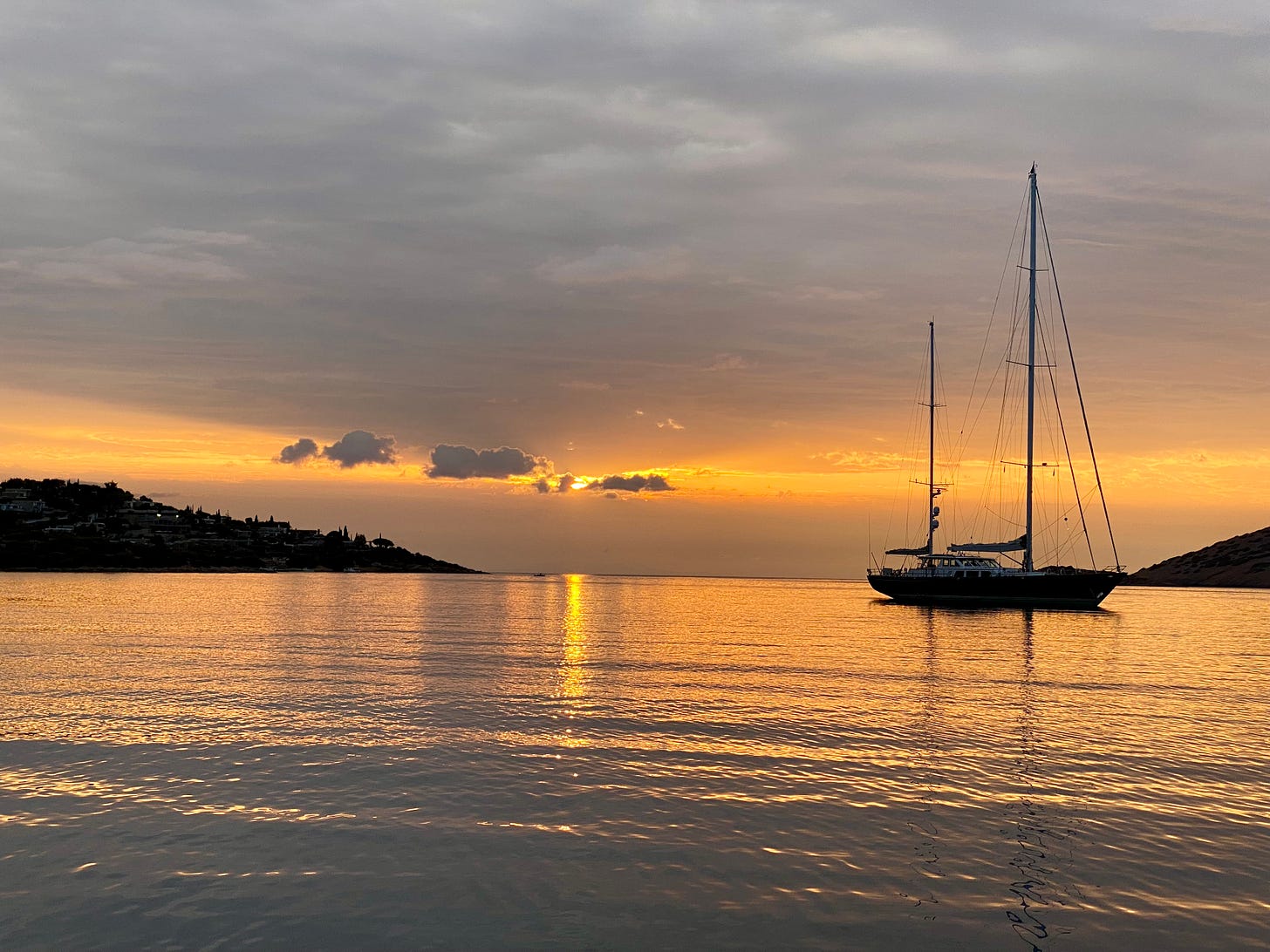
After seeing Ann safely onto the bus for the Athens Airport we returned to Scappa and prepared to head westward toward the Corinth Canal and the Ionian Sea. We were treated to some rain and an electrical storm that seemed to be over the Athens Airport area, though Ann had safely departed by this stage. A dramatic display for our last evening in Porto Rafti. We had an early start, leaving Porto Rafti in the dark at 4am and heading south and then north-west past Athens and Aegina Island (including a lot of shipping traffic). It was a long day (about 75 miles) consisting mostly of motoring but after 13 hours we anchored for the night in a bay about 5 miles from the canal’s eastern entrance. Tomorrow was going to be another big day, but it would be necessary in order to avoid some windy weather that was approaching.
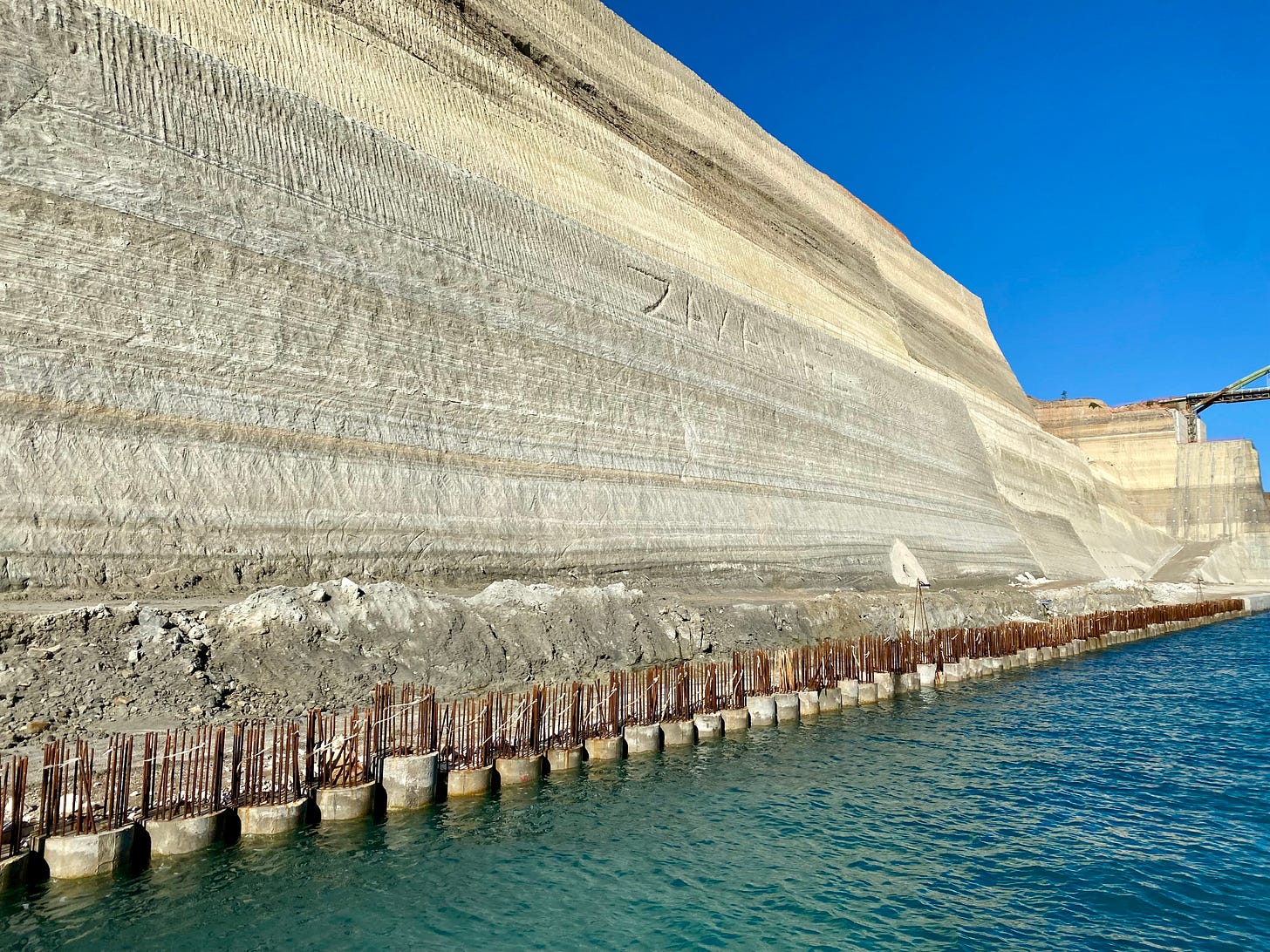
We had transited the Corinth Canal previously on Site Office but this would a first for Scappa. Known as the most expensive canal per mile in the world, the Corinth is almost a rite of passage in Greek cruising circles. Its certainly impressive and for Scappa cost €210 for the privilege of transiting the 3.5 mile canal. This money goes towards maintenance of the structures and the canal itself. The canal has suffered from multiple landslides that have resulted in closures and considerable dredging and land stabilisation works.
The canal is managed by an organisation that collects the fees and controls traffic flows. Vessels transit the canal in groups and the traffic is one way only with strict controls on transit times and direction.
The Corinth Canal has a long history. In the 7th century BC there were plans to excavate a canal at Corinth, however, it was deemed cheaper and easier to build a stone lined portage road in this location to transport ships and cargo overland instead. Plans for a canal were revived around 300 BC, however, the project was deemed impossible by engineers who miscalculated the measurements of sea level in the Saronic and Corinth Gulfs. They came to the conclusion that a canal would cause flooding and inundation of islands in the Saronic Gulf as a result.
Both Julius Caesar and Caligula had plans to construct a canal at Corinth during the Roman era but both died before they could implement them. Emperor Nero actually commissioned construction on the canal in 67 AD and personally broke ground with a pickaxe and carted the first basket of soil in the project …. before handing the construction work over to 6,000 prisoners of war. This team of workers dug trenches from both sides and a group drilled deep shafts in the middle. They managed to dig around 700 metres of canal (roughly a tenth of the distance) before Nero’s death and the abandonment of the project.
Vikings used the old portage route at Corinth to transport ships between the Corinth and Saronic Gulfs during their exploration and trading voyages.
Plans for the canal were revived again after Greek independence from Ottoman rule in 1830. A concession was granted to a French company and construction started in 1882, however, the company went bankrupt (as did the French company constructing the Suez Canal). Construction resumed under a Greek company in 1890 and the canal was finally completed in 1893.
During WWII, the retreating Germans, as part of their “Scorched Earth” policy destroyed all bridges crossing the canal, used explosives to trigger landslides and dumped debris and railroad carriages into the canal to prevent navigation. The US Army Corps of Engineers began to clear the canal in November 1947 and it was opened to traffic in September 1948.
The canal is approximately 7 kilometres (3.5 Nautical miles) in length, is 24 metres wide at sea level and has a minimum depth of 7.5 metres. Its narrowness, combined with the currents make it a difficult obstacle for very large ships to navigate safely, however, it is used by commercial shipping as well as recreational craft.
The steep limestone cliffs in a seismically active area, together with the erosion and undercutting caused by the wake of ships and currents means that the canal is subject to landslides and requires regular maintenance. It is interesting to note that the tide times in the Corinth and Saronic Gulfs differ and at times there are strong currents through the canal, so while the ancient engineers miscalculated the difference in sea level, they were not entirely incorrect.
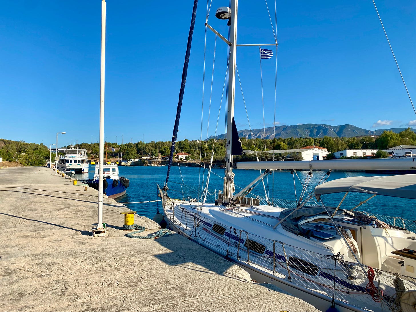
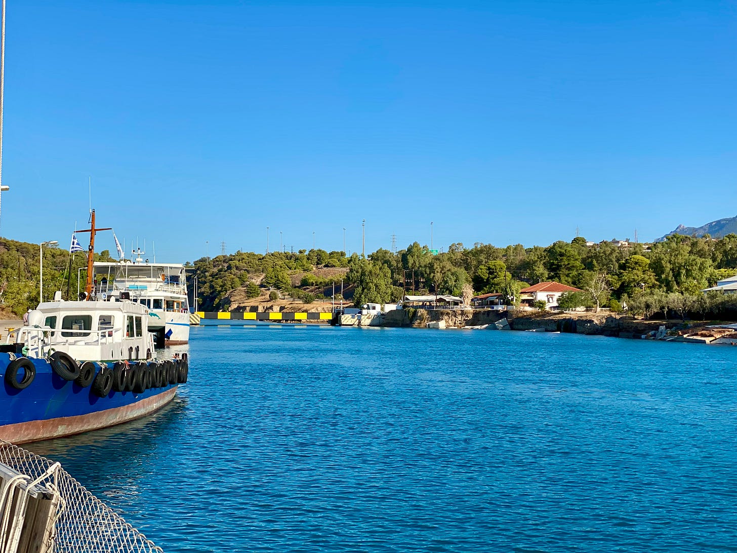
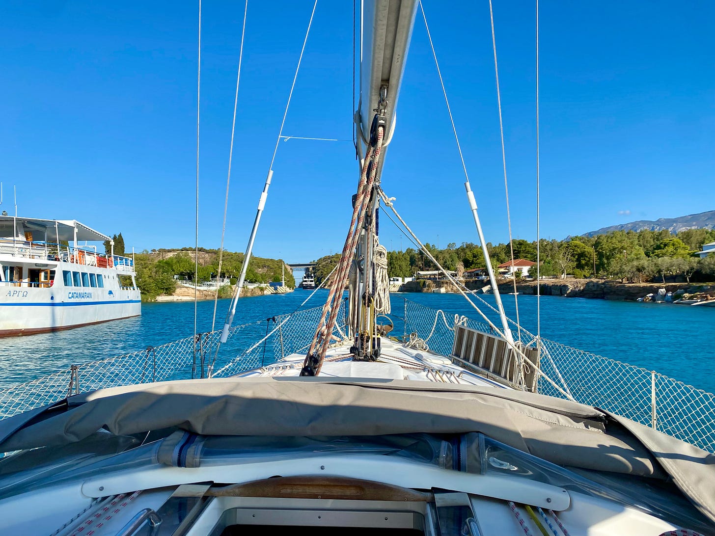
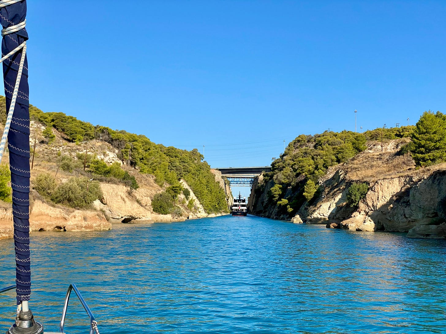
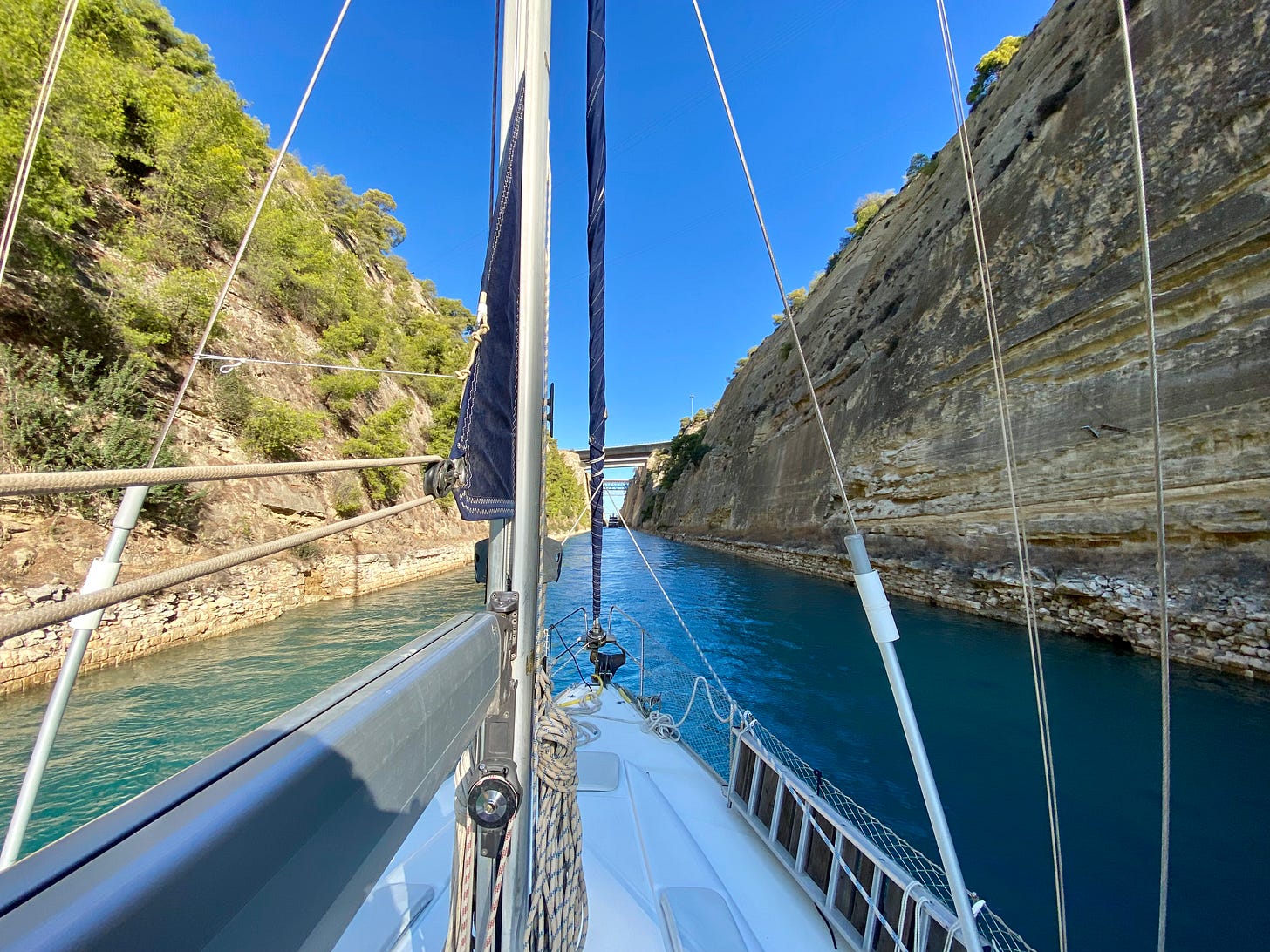
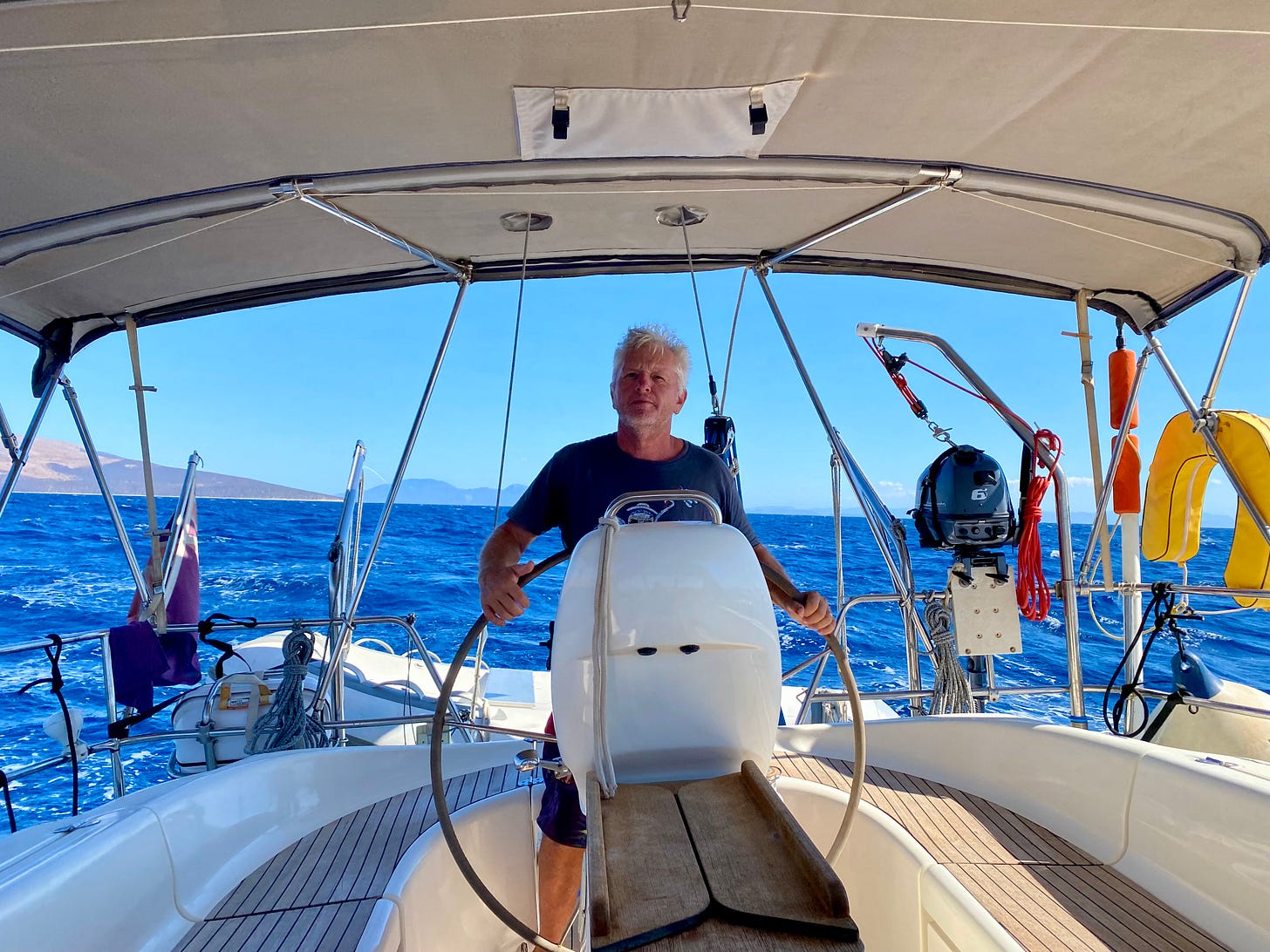
The weather conditions on the two sides of the canal can be, and usually are, quite different. We exited the canal to brisk and building headwinds with an additional 30 or so miles to go to get to any kind of viable anchorage. It turned out to be another long day. But we were thankful we went through when we did. We meet a South African boat that came through a day later and had 55 knot winds when they exited the canal. We were thankfully hidden away in Antikyra by that time for 3 days waiting for the strong winds to pass.
Next stop: Back to the Ionian


Share this post